PR-G 213 SENDEIRO OS BOSQUES MÁXICOS DE CASTRO CALDELAS THE WAY OF THE MAGICAL FOREST OF CASTRO CALDELAS

THE MAGICAL FOREST OF CASTRO CALDELAS
The PR-G 213 is a circular route that takes you into the landscapes that surround Castro Caldelas. With two loops, it has a total distance of 20.2 km and has been designed to make you enjoy walking through the natural and monumental heritage of one village that has recently been recognized as one of the most beautiful in Spain.
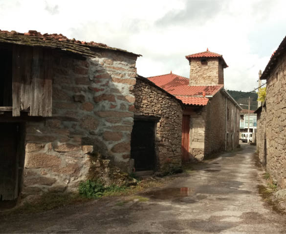
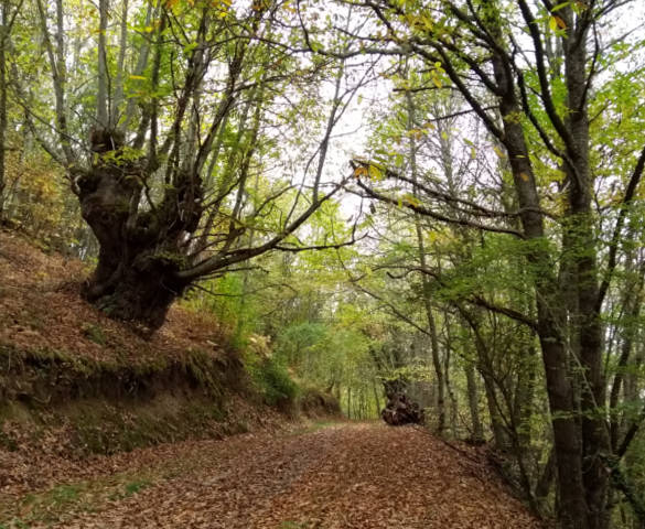
Go through meadows, vineyards, chestnut groves and forests where water flows everywhere, and meet the popular and religious architecture that, in the form of mills, sequeiros - chestnut dryers -, traditional villages, old cart ways or monasteries, has emerged for generations.
So go on, open your senses, and follow the way that will carry you into the magical forest of Castro Caldelas.
-
Download Track in GPX format (without waypoints).
-
Download Track in GPX format (with waypoints).
-
Download the triptych of the route in PDF - in Spanish.

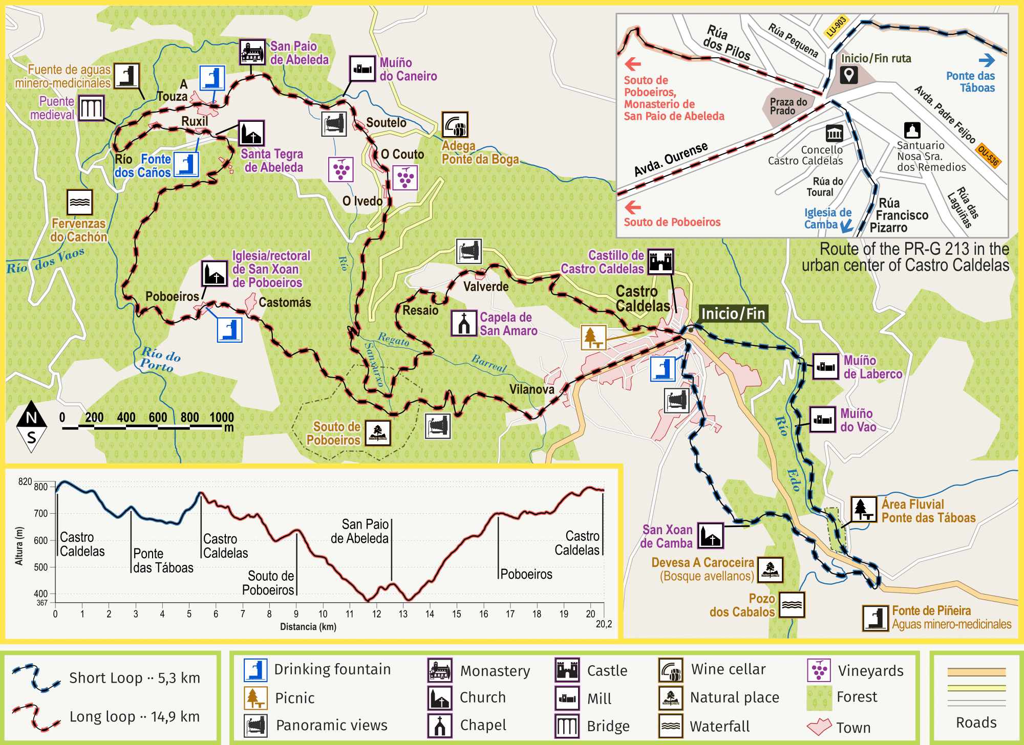
MAP · TECHNICAL INFORMATION
Click over the map to enlarge
-
Click here to watch the map larger.
-
Do you have problems to see the map? Open it in Google Maps or in Wikiloc.
RECOMMENDATIONS
-
The route crosses roads at various points of the path. Keep the caution.
-
Do not enter the dilapidated buildings you can find on the way.
-
Respect the environment, fauna and flora. Enjoy contact with nature without damaging it.
-
Respect private property - farms, orchards and other assets).
-
Do not burn. If you see a fire, notify the Forest Fire Warning by calling 085.
-
Do not throw trash. Take it and put it in the right containers.
-
In case of emergency, notify the Emergency Services by calling 112.
TECHNICAL DATA
-
Circular path (Castro Caldelas - Castro Caldelas)
-
Short loop distance: 5,3 km
-
Long loop distance: 14,9 km
-
Total distance - complete path: 20,2 km
-
Cumulative elevation gain - complete path: 840 m
-
Estimated time - complete path: 6 - 7 hours
SIGNALING
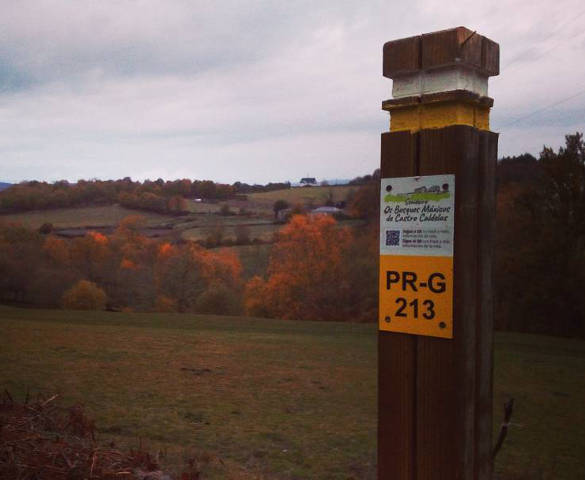
The pathway is marked with the signs of the short route ways of galicia (sendeiros de Pequeno Recorrido de Galicia - PR-G).


DESCRIPTION OF THE ROUTE

A tour trough the forests and the heritage of Castro Caldelas
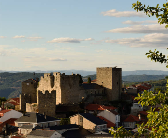
1. From Castro Caldelas to Ponte das Táboas (going trough San Xoan de Camba)
PR-G 213 is a two loops path: one short (5,3 km) and other long (14,9 km), wich converge in the urban area of Castro Caldelas. You can walk the complete path or only one of the loops. In both cases the path is circular, with start and finish in Castro Caldelas. Be careful not to get wrong with the PR-G 213 signals.
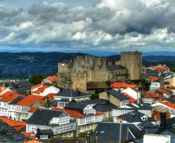
You can start the route by the short loop, going up Francisco Pizarro Street towards the Church of San Xoan de Camba. At the exit of Castro Caldelas the views over the castle, the village and its natural environment are exceptional.
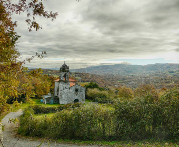
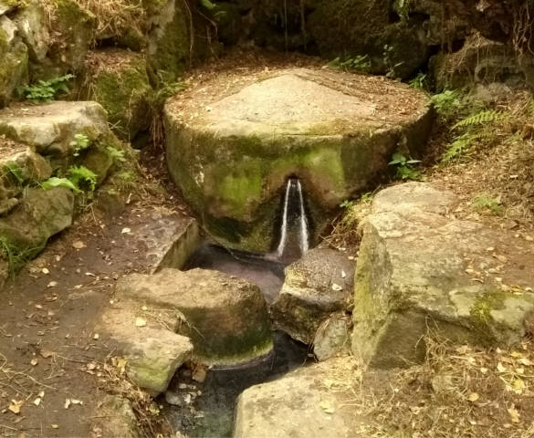
You will arrive at the historic Church of Camba through an oak forest. From here a nice path and a corredoira (old way for carts) takes you to Ponte das Táboas Fluvial Area, but before you can turn off to the Pozo dos Cabalos - Horses Pool - and the Fonte de Piñeira - a source of mineral-medicinal waters.
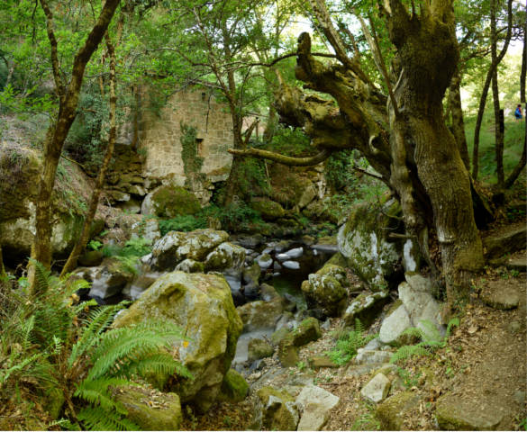
2. From Ponte das Táboas to Castro Caldelas (going trough Fluvial Path of Caldelas River)
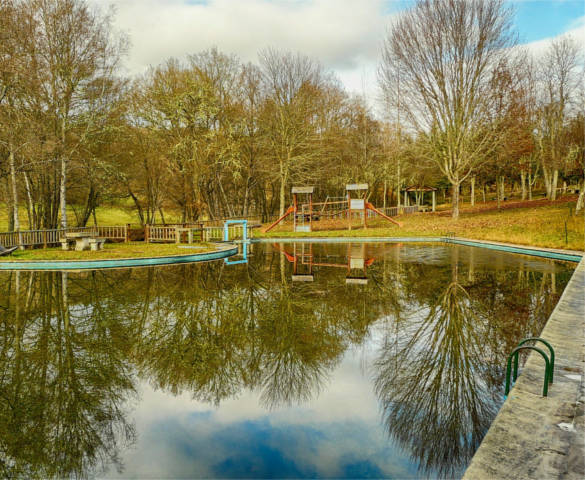
Ponte das Táboas Fluvial Area is a large recreational area with picnic areas and a dammed pool. After crossing it, the route goes up the Caldelas River (before Edo River) by its peaceful fluvial pathway: a narrow way between a beautiful riverbank vegetation composed of birch, alder, ash, willow and oak.
In this section, several mills - called muíños in Galician - have historically used the rapid waters of the Caldelas River to grind the grain. We will pass next to Muíño do Vao and Muíño do Laberco, this one recently restored. With a bit of luck we can observe the nervous trouts that live in the river, and even the otters that look for them as food.
Finally, the path takes us between old chestnuts and stone walls to complete the short loop in Praza do Prado - Prado Square - of Castro Caldelas.
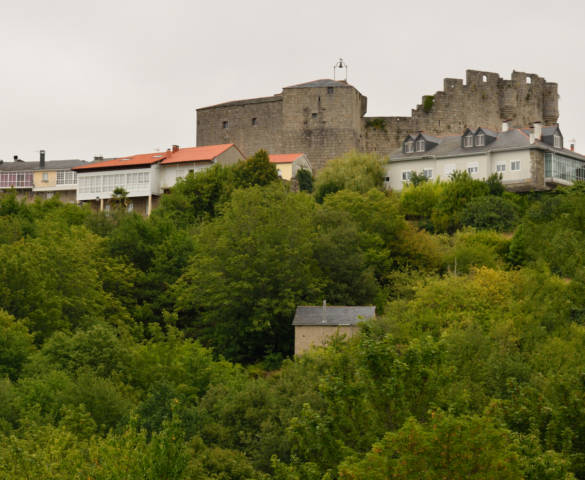
3. From Castro Caldelas to Poboeiros Grave and San Paio de Abeleda
Then you can walk the long loop, taking the Rúa dos Pilos - The Pilos Street - towards the Souto de Poboeiros - Poboeiros Chestnut Grove. In this case, when leaving Castro Caldelas we have a different view of the village, with the castle and the Church of Santa Isabel rising above the forest.
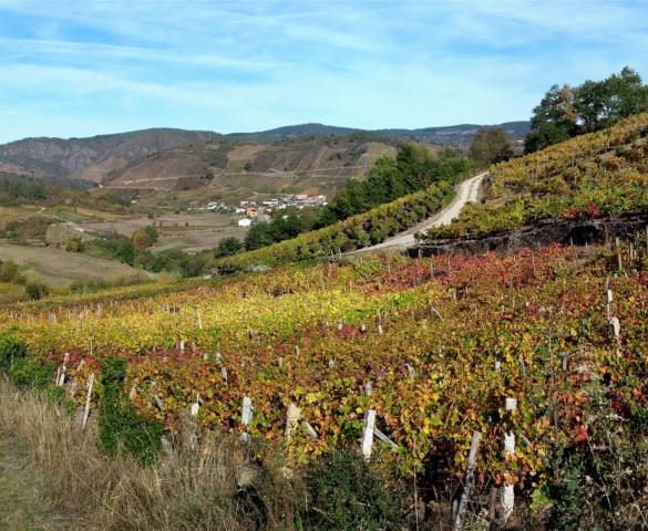
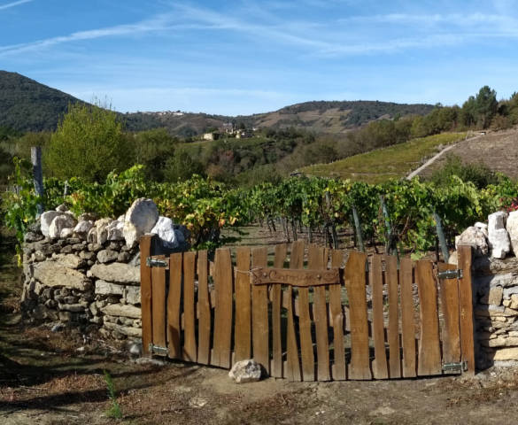
Before arriving at the Monastery of San Paio de Abeleda, the path takes you through the woods to visit several villages, some of them already abandoned. You will pass through an old sequeiro, a construction where the chestnuts obtained from the soutos or chestnut groves were dried, and vineyards that offer beautiful views over this landscape of the Ribeira Sacra.
After the village of Valverde you can take a detour to see the small Chapel of San Amaro. Further on, the path passes next to the Pazo do Couto - The Couto Manor House, in the place of the same name, and by another mill - the old Muíño do Caneiro, in Caldelas River course.

4. From San Paio de Abeleda to Castro Caldelas
The path goes up Caldelas River, but sometimes moves away from it to cross fields and villages. Near the Bridge of Lumeares, with a single pointed arch of 8 meters and medieval origin (13th - 14th centuries), we can briefly deviate to contemplate the Fervenzas do Cachón - Cachón Waterfalls. Then begins a tour by several places in the parish of Santa Tecla de Abeleda, as Ruxil. Here you will find its cruceiro - a typical Galician big cross put in some crossroads - in memory of the old Chapel of Virgen de la Luz and its festival.
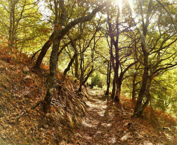
A dense chestnuts and oaks forest takes you to Poboeiros, where you can see its church and rectory house. Afterwards, the path goes back into the Poboeiros Chestnut Grove, where grow the imposing centenary chestnuts that have given food to the neighbors of these lands for generations.
The long loop continues this way until Castro Caldelas, offering us splendid views over the mountains that surround the village.


